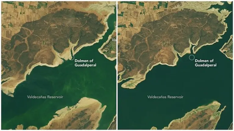
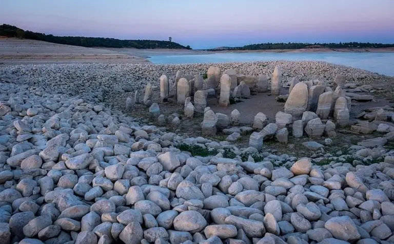
The Dolmen of Guadalperal, also known as the Spanish Stonehenge, is a circle of dozens of large stones believed to date back to 5000 BCE. Now, as an unexpected side effect of the most severe drought in decades in the country, this prehistoric stone circle has resurfaced in Spain’s Valdecañas Reservoir after water levels dropped to just 28% of capacity, according to CNN.

“This is a rare opportunity to access it,” said archaeologist Enrique Cedillo from Complutense University in Madrid, who quickly studied the site before it could be submerged again by autumn rains.
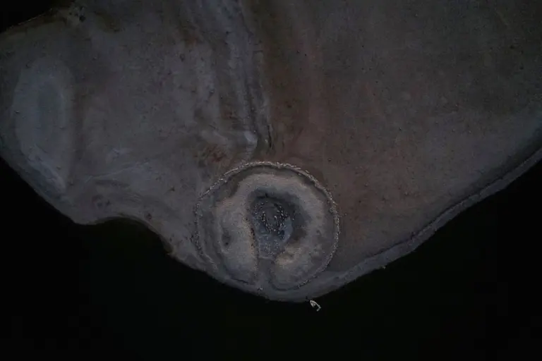
At approximately 7,000 years old, the Spanish Stonehenge may predate its more famous counterpart in England by thousands of years. It was discovered by German archaeologist Hugo Obermaier in 1926 and flooded in 1963 as part of a rural development project under Francisco Franco’s regime.
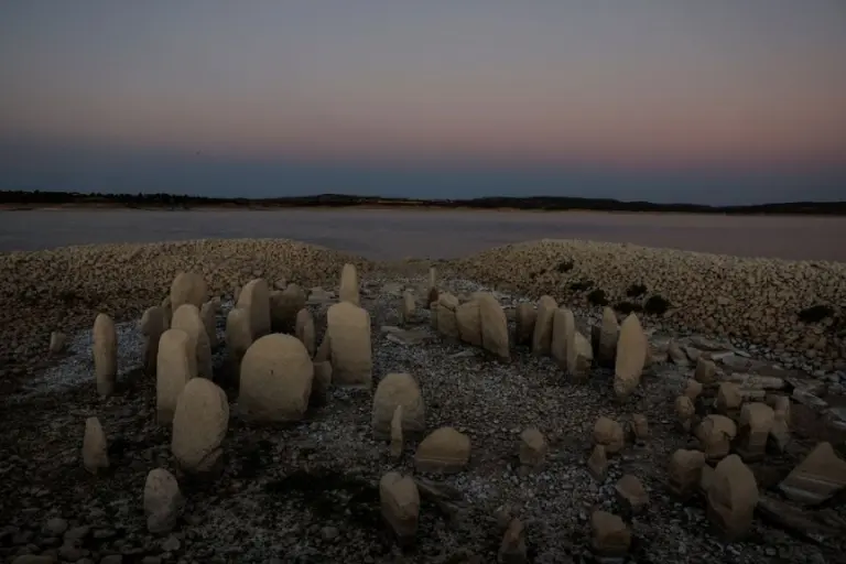
Since then, the Dolmen of Guadalperal has only fully emerged four times — most recently in 2019, marking its first reappearance in 50 years. The large circle comprises about 150 standing stones (or megaliths), some over 6 feet (1.8 meters) tall, arranged around an open oval-shaped area in the center. This mysterious structure may have once supported a large stone cover, providing a ceremonial space.
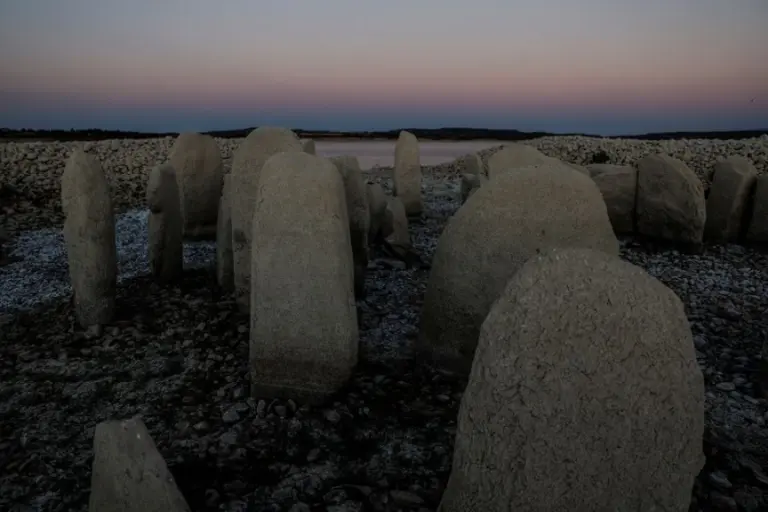
The dolmen was designed as both a burial site and a sun temple, likely aligned with the summer solstice to allow sunlight to illuminate the community’s buried ancestors.
According to Primitiva Bueno Ramirez, a prehistory expert at the University of Alcalá, worshippers would have entered through a narrow corridor adorned with carvings and decorations, leading to a larger main chamber (about 16 feet wide) where the dead may have been kept.
A particularly large stone (a “menhir”) appears to mark the entrance to the structure. The threshold stone features two carvings: a human figure on one side and a zigzag symbol on the other. The latter may represent either a snake or the Tagus River, the longest waterway on the Iberian Peninsula, from which the stones were transported some three miles away.
According to NASA’s Earth Observatory website, if the zigzag indeed depicts a waterway, it could be one of the oldest maps in Europe.
As before, the stones will likely be submerged again when the rains arrive. For this reason, local groups have petitioned to move the entire monument to higher ground so the stones can be more thoroughly studied and made accessible to the public.
However, some archaeologists are concerned that relocating the site could accelerate its deterioration, particularly if done hastily to beat the rising water levels. For now, the Dolmen of Guadalperal awaits its inevitable return beneath the waves.


